
How To Read GPS coordinates and Never Get Lost Again!
For some people, getting lost when out in the wilderness is all part of the fun. A chance to explore new places, to try a route you wouldn’t normally have tried or a way to genuinely leave the world behind for a while. For others, the idea of being lost is a nightmare. It is for that latter group that I wrote this tutorial on how to read GPS coordinates.
If you enjoy the outdoors and hike, bike or trek, you will probably use a GPS to help navigate. Some come with map functions where you can sit in the comfort of your home and plan a route on your computer. I use one of these for my cycling expeditions. I create a route on my desktop, load it onto my Garmin, attach it onto my bike and go out and explore. It’s a fantastic way to see the world.
That’s all great and all, but what about if you deviate from the map? What about if you’re out of cell coverage and cannot access another map? How can you tell where you are and where you need to go if all you have are GPS coordinates?
Global Positioning System
GPS stands for Global Positioning System. Originally a US military project with the aim of allowing military formations to always know where they are at any given time. It uses 24 satellites that project a signal that allows us to triangulate a position anywhere on the planet. GPS works in all weathers, in all conditions in all situations, which is why it is so useful. The military version is accurate to within a few feet while the civilian version is accurate to a few dozen feet.
Once the military had proven its worth, the system was opened up to the public. Consumer GPS units were released for cars and gradually became small enough for bicycles, phones and other devices. Now, GPS is used across the world and competing systems are being designed and released.
Latitude and longitude
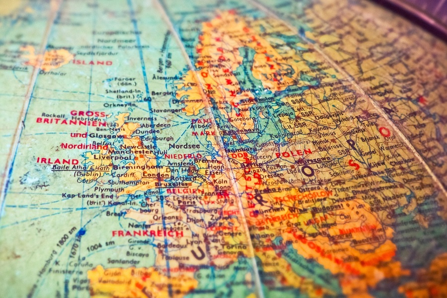
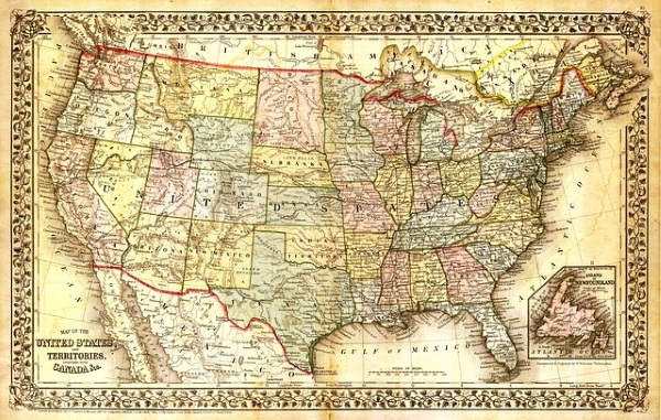
GPS uses the established latitude and longitude system to tell you where you are. To read GPS coordinates, you first need to know how lat and long work. Lat and Long are those grid lines you see on maps. These can help tell you where in the world you are.
Latitude uses the horizontal plane from the equator. The Equator is 0 degrees and goes up to 90 degrees at the North Pole and down to -90 degrees at the South Pole. Latitude uses 1 degree increments for accuracy. Locations north of the equator will use the N designator. Locations south of the equator will use S.
Longitude uses the vertical plane from the Prime Meridian at Greenwich in the UK. Longitude also uses 1 degree increments and go from west to east either side of Greenwich from 0 degrees up to 180 degrees. Locations east of Greenwich are denoted by an E and those west by W.
Each degree can then be subdivided into minutes and seconds for pinpoint accuracy. There are 60 minutes in a degree and 60 seconds in a minute.
So how do we use all that information?
Here’s an example. The White House has coordinates of 38° 53′ 51.635″ N 77° 2′ 11.507″ W.
As you always read latitude first, this breaks down to 38 degrees, 53 minutes and 51.6 seconds North, 77 degrees, 2 minutes and 11.5 seconds West. If you have a map, you should be able to quickly identify that location using the grid lines.

Getting GPS coordinates from a device
If you’re using a navigation device to find your way around, you should be able to call up your GPS coordinates easily. Each device will do it slightly differently but my Garmin Edge 520 shows me where I am in System, GPS and View Satellites. On my Android phone, I open Google Maps and select My Location. Holding down on that location marker shows me my coordinates.
GPS vs DD
If you use Google Maps or other map, you may see a slightly different format, such as 38.897957, -77.036560 for the White House instead of 38° 53′ 51.635″ N 77° 2′ 11.507″ W. This is known as Decimal Degrees (DD) and some maps show this instead. They should still make the GPS coordinates available but to avoid any confusion, DD format is very similar.
Instead of using N, E, S and W designators, DD uses positive and negative numbers instead. If the latitude coordinates are positive, they are above the equator, negative is under. Longitude uses positive numbers for east of the Prime Meridian and negative is west. While GPS coordinates and DD coordinates have slightly different numbers, they both get you to the same place.
Reading GPS coordinates is a useful skill if you have an outdoor hobby or like exploring the wilderness. In fact, navigation as a whole is an important skill as you may not always have GPS available. The more prepared you are, the more capable you are and the more enjoyable your time will be. I hope this little tutorial helps with that!