

The Best Offline No-Wifi Maps for iPhone

If you’re traveling and have no access to data or want to save it for something important, how are you going to navigate? The answer is to use no WiFi maps. iPhone has a selection of map apps that download onto the phone and require no data to use. They won’t be as dynamic as connected maps but for navigation they should be just fine.
Many cell contracts include roaming or a roaming option but not in every country. Depending on that country’s infrastructure and cell coverage, it might not be possible to get a connection even if you wanted one. In those cases, an offline map is essential.
Here are some of the best no Wifi maps for iPhone around right now.
Apple Maps
Apple Maps is not the best map app around but as it is built into iOS, it’s a logical place to start. The map itself will work whether you’re online or off. It is loaded onto the phone and updates whenever you use it on WiFi but the basic map is always there. You can even use it for navigation if you plan ahead.
Open Apple Maps somewhere with a WiFi connection. Navigate to where you’re going, use Route or Get Directions and let the map load the route. Turn off WiFi and the map will have cached directions and will still let you use them.
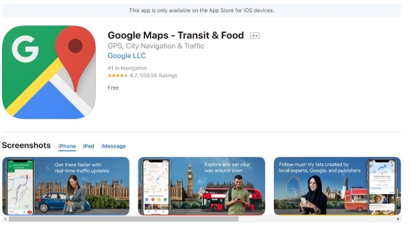
Google Maps
Google Maps is available for the iPhone and is another viable map to use offline. In fact, Google Maps has a specific offline function where you can load parts of the map ahead of time that will include as much location data as the map has. The interactive aspects will obviously not work without WiFi but directions and landmarks should.
Open Google Maps, open the menu and select Offline Areas. Select the region you’re going to be navigating and let the map download. Once done, you will have a cached version of the map that’s good for 30 days.
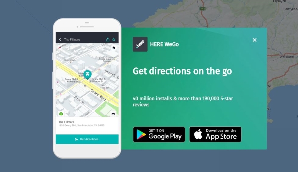
Here WeGo
Here WeGo is for navigating around cities. It does cover some rural areas but only loosely. This app is mainly about exploring our cities and urban areas. It’s a free app that can work just as well with a WiFi connection or without one. It can still offer navigation, turn-by-turn guidance and transport information even without being connected.
Here WeGo doesn’t have the same coverage as Apple or Google Maps but has a good portion of the US, UK, Europe, Canada and Australia built in.
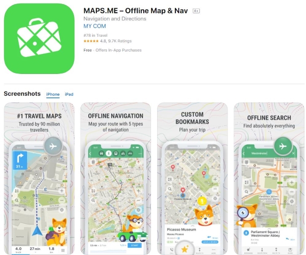
MAPS.ME
MAPS.ME is designed to be used offline. It’s a free map app that has similar levels of detail as Apple or Google with monuments, points of interest, trails, transport and all that good stuff. It downloads a copy to your iPhone and will update when it can but works fine without WiFi.
The map is stylized but looks great. As it is designed to work offline, it is fully functional without a connection and will navigate you on the road, walking or cycling in most places in the world.
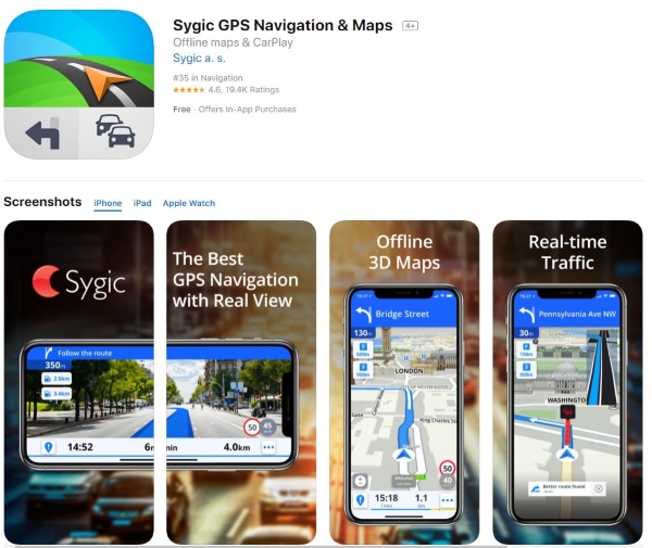
Sygic GPS Navigation & Maps
Sygic GPS Navigation & Maps is most useful if you’re driving but can be used anywhere at any time. It’s another map app for iPhone designed to be used offline. It uses TomTom maps with a 3D overlay to provide a car GPS-like experience that can take you almost anywhere in the world. With a connection it provides live traffic updates, safety or delay warnings, lane assistance, a heads up display with the correct hardware and a lot more besides.
Without a connection, Sygic still provides excellent mapping, directions, voice-guided navigation, points of interest and even dedicated pedestrian mapping.
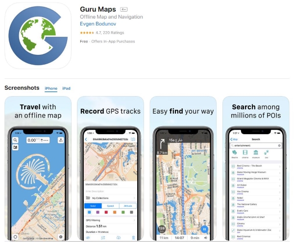
Guru Maps
Guru Maps used to be called Galileo and is another dedicated map app that doesn’t need WiFi. It offers similar features to these others in a similarly approachable package. An attractive map with great detail, turn-by-turn navigation, points of interest, GPS, search, world maps driven by OpenStreetMaps, voice navigation, driving, walking and cycling route finding and a whole lot more.
The map works well whether connected or not and covers a good portion of the planet. It uses open source mapping from OpenStreetMaps so it always up to date.
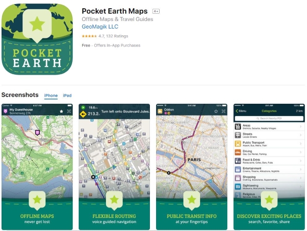
Pocket Earth
Pocket Earth is my final no Wifi map for iPhone. It works like Guru Maps and also uses OpenStreetMaps. It’s a very detailed map app that shows cities in incredible detail and rural areas in very good detail. Even offline, the map includes points of interest, landmarks, amenities, navigation and more. With a connection it links with Wikipedia, allows you to book hotel rooms or dinner tables and all that good stuff.
For venturing further afield, you can create route maps and export them as GPX files for cycle computer or other GPS device.